Construction and infrastructure projects are becoming increasingly complex, and traditional monitoring methods are often time-consuming and limited in scope. 360° drone videography offers a revolutionary solution by providing immersive aerial views and interactive data that enhance project management, safety, and documentation.
This blog explores how 360° drone videography is transforming construction and infrastructure projects.
1. Benefits of 360° Drone Videography in Construction
Comprehensive Project Monitoring
- Capture the entire construction site from above in a single sweep.
- Inspect progress in real-time without physically walking the site.
Improved Accuracy and Documentation
- 360° video captures all angles of structures and equipment.
- Useful for progress reports, compliance checks, and audits.
Enhanced Communication
- Share aerial videos with clients, stakeholders, and team members.
- Interactive footage helps teams identify issues quickly and make informed decisions.
2. Applications in Infrastructure Projects
A. Bridges and Highways
- Monitor structural integrity and construction progress.
- Identify potential safety hazards and maintenance needs early.
B. Industrial Facilities
- Inspect factories, power plants, and warehouses efficiently.
- Document layouts and equipment placement for future reference.
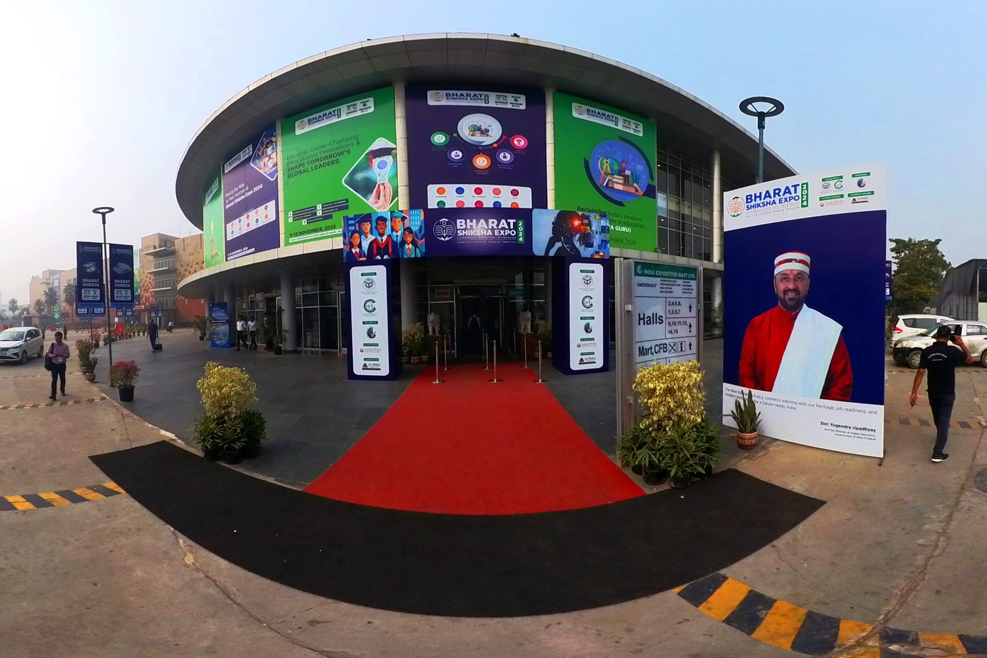
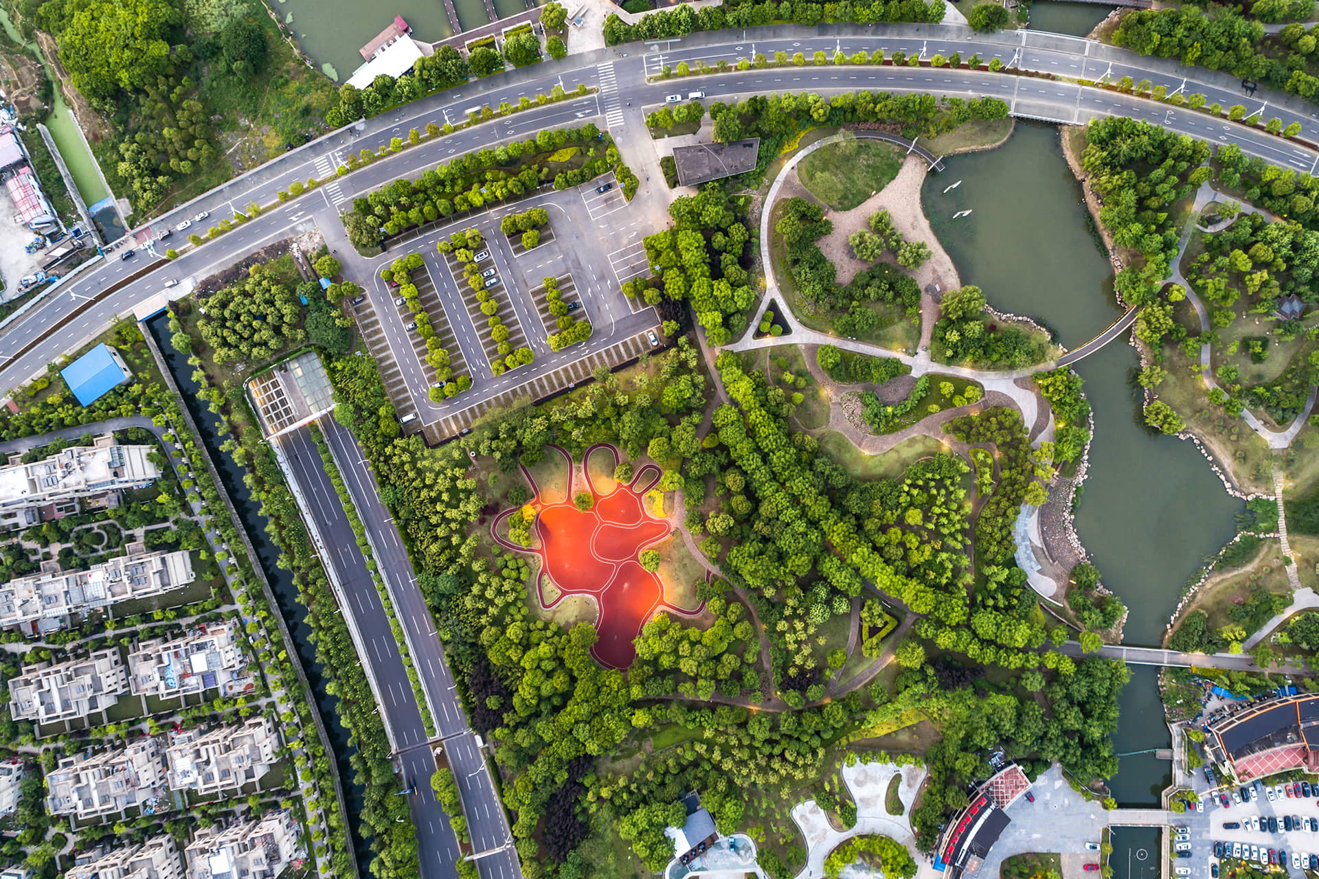
C. Urban Development
- Track city planning and infrastructure expansion projects.
- Integrate footage into GIS mapping and 3D models for detailed analysis.
3. Techniques for 360° Drone Videography in Construction
- Orbit Shots: Fly around critical structures for full perspective.
- Fly-through Paths: Navigate through construction zones to document progress.
- Time-Lapse Videos: Capture long-term progress in engaging formats.
- Hotspot Integration: Add notes or measurements to specific areas for team reference.
4. Safety and Compliance Benefits
- Reduce the need for manual inspections in hazardous areas.
- Ensure compliance with safety standards by monitoring high-risk zones.
- Prevent accidents by identifying potential hazards early through aerial footage.
5. Cost and Time Efficiency
- Reduce the need for ground-based surveys and repeated inspections.
- Accelerate project timelines by providing quick and accurate progress reports.
- Lower operational costs with fewer personnel required onsite.
6. Integrating 360° Drone Footage with Project Management
- Combine aerial footage with BIM (Building Information Modeling) or project management software.
- Track milestones, resource allocation, and progress visually.
- Enhance collaboration between engineers, architects, and contractors.
Conclusion
360° drone videography is transforming construction and infrastructure projects by providing comprehensive monitoring, immersive documentation, and enhanced communication. By leveraging aerial 360° footage, construction teams can improve efficiency, reduce risks, and deliver projects on time.
At 360Biznus, we specialize in 360° drone videography for construction and infrastructure, providing high-quality, interactive aerial footage that supports safe, efficient, and well-documented projects.
Get in Touch
Whether you want to develop a new 360 Virtual Tour, 3D Product Display, 360 Product Spin Photography, Google 360 Street View or update an existing 360 Virtual Tour, we're eager to assist.
Call / Email Us / fill in the form below.